Why Floodplain Maps Are Outdated
and What That Means for Development
Communities are approving development based on maps that no longer reflect where the water will go
The floodplain map hanging in the planning office of a typical Ontario municipality might be based on data from the 1980s. Some are older than that. The topographic data was collected before GPS, before LiDAR, and before the rainfall patterns and river flows that define flood risk started changing in response to a warming climate. The land use depicted on these maps may bear little resemblance to the development that has occurred since they were drawn. And yet these maps remain the foundation upon which development decisions are made, permits are issued, and insurance risk is assessed.
Outdated floodplain maps represent one of the most significant gaps in Ontario's approach to managing flood risk. When the maps underestimate the extent of the floodplain, development gets approved in areas that are actually at risk. When homeowners do not know they are in a flood zone, they do not take precautions, do not purchase insurance, and are shocked when the water arrives.
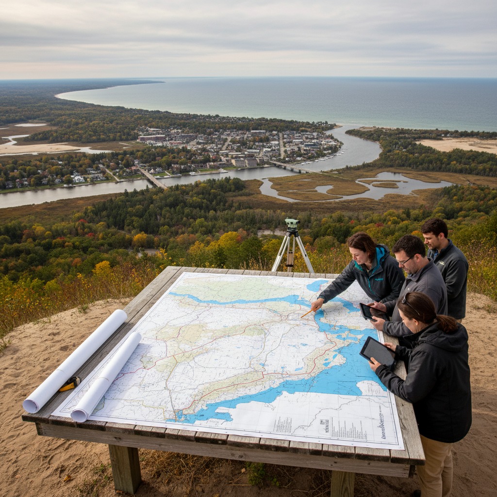
How Floodplain Maps Are Made
Floodplain mapping in Ontario is primarily the responsibility of conservation authorities, which use hydrological and hydraulic modelling to estimate the extent of flooding under various scenarios. The standard used in most of Ontario is the regulatory flood, which is based either on the regional storm, a hypothetical extreme rainfall event, or the 100-year flood, a flood with a one percent probability of occurring in any given year, whichever is larger.
Creating accurate floodplain maps requires high-quality topographic data, calibrated hydrological models that accurately simulate runoff from the watershed, hydraulic models that simulate water flow through the river channel and onto the floodplain, and the technical expertise to integrate these elements. Each of these components is expensive and time-consuming to develop and maintain.
Many existing floodplain maps were created using two-foot contour topographic mapping that was the standard available when the maps were originally developed. Modern LiDAR technology can produce elevation data with vertical accuracy measured in centimetres, revealing subtle terrain features that the older contour mapping missed entirely. When floodplain maps are updated using modern elevation data, the mapped flood extent often changes significantly, sometimes expanding to include properties that were previously shown as being outside the floodplain.
Why They Are Out of Date
Several factors contribute to the obsolescence of floodplain maps across Ontario. The underlying topographic data, as noted, may predate modern surveying technology. But even where the topography is well mapped, the hydrological conditions that drive flooding are changing.
Urbanization and development in upstream areas increase the volume and speed of runoff reaching rivers during storm events. A watershed that was 20 percent developed when the floodplain map was created may now be 50 percent developed, generating significantly more runoff from the same rainfall event. Unless the hydrological models are updated to reflect these changes, the floodplain map will underestimate flood risk.
Climate change is altering precipitation patterns and flood frequencies. Intense rainfall events are becoming more common, and the statistical assumptions that underlie the 100-year flood estimate, which assumes stationarity in the climate system, may no longer hold. A storm that had a one percent annual probability under historical conditions may now have a two or three percent probability, meaning the 100-year flood is becoming a 30 to 50-year flood.
Physical changes to the river channel and floodplain, including erosion, sedimentation, vegetation growth, and infrastructure construction, can also affect the accuracy of existing maps. A bridge or culvert installed after the map was created can change the hydraulics of flow through a reach, affecting flood levels upstream and downstream.
The Consequences
The consequences of outdated floodplain maps are both practical and financial. Properties that should be mapped within the floodplain may be approved for development, putting their occupants at risk. Municipal infrastructure including roads, water systems, and sewers may be built in locations that are more flood-prone than the maps indicate. Insurance providers may not assess flood risk accurately for properties that are shown as being outside the floodplain on official maps but are actually at risk.
When flooding occurs in areas that were not mapped as flood-prone, the impact is compounded by the lack of preparation. Homeowners who did not know they were at risk have not elevated their mechanical systems, waterproofed their basements, or purchased flood insurance. Municipalities that did not recognize the risk have not planned emergency response routes or installed flood protection measures.
The 2013 flooding in the Greater Toronto Area and the 2017 and 2019 flooding events across much of southern Ontario highlighted the consequences of outdated flood risk information. Properties that were shown as being outside the floodplain on existing maps were inundated, and the total damage costs ran into the billions of dollars.
Updating the Maps
The Ontario government and conservation authorities have acknowledged the need for updated floodplain mapping and have committed resources to the effort. However, the scale of the task is enormous. Ontario has thousands of kilometres of mapped flood hazard areas, and updating each reach requires new topographic data, updated hydrological models, hydraulic analysis, and technical review. The cost of updating floodplain mapping province-wide has been estimated in the hundreds of millions of dollars.
Progress has been made in some areas. Several conservation authorities have invested in LiDAR data acquisition and model updates for their highest-priority flood-prone areas. The federal government's Flood Hazard Identification and Mapping Program has provided funding to support mapping updates. But the work is far from complete, and many communities continue to rely on maps that do not reflect current conditions.
For property owners and prospective buyers, the practical advice is clear: do not rely solely on the official floodplain map to assess your flood risk. Talk to your conservation authority about whether the mapping in your area has been updated recently. Ask neighbours about their flooding experience. Investigate the property's flood history before buying. And consider flood insurance regardless of what the map says, because the map may be wrong.
By James Whitfield, Planning and Development Reporter