Towns Along the Trent-Severn Waterway
The chain of communities connected by locks, lakes, and a shared stretch of navigable water through the heart of Ontario
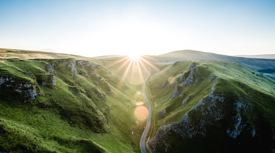
The Trent-Severn Waterway runs 386 kilometres from Trenton on the Bay of Quinte to Port Severn on Georgian Bay, threading through rivers, lakes, canals, and 44 lock stations along the way. It is one of the longest recreational waterways in North America, a National Historic Site, and the defining infrastructure of a region that stretches from the agricultural lowlands south of Peterborough through the Kawartha Lakes and into the Canadian Shield country north of Orillia. More than any highway or railway, the waterway connects the communities along its route, giving them a shared identity rooted in the water that flows between them.
The waterway was not built all at once. Construction began in the 1830s and was not completed until 1920, making it a project that spanned nearly a century and multiple generations of engineers, labourers, and politicians. The result is a system that includes everything from simple hand-operated locks to the Peterborough Lift Lock, the largest hydraulic boat lift of its kind when it was completed in 1904. Each section of the waterway has its own engineering character, its own landscape, and its own communities.
Peterborough
Peterborough is the largest city on the waterway and the one most associated with it in the public imagination, largely because of the lift lock. The Peterborough Lift Lock raises and lowers boats 20 metres using two enormous water-filled chambers that operate on a simple hydraulic principle: the descending chamber, made slightly heavier by the addition of a small amount of water, pushes the ascending chamber upward. No external power is required. The mechanism has been operating for over a century and remains one of the most impressive pieces of engineering on any Canadian waterway.
Beyond the lift lock, Peterborough's relationship with the Otonabee River, which forms the waterway corridor through the city, has deepened over the past two decades. The waterfront trail system, the revitalized Del Crary Park area, and the investment in public spaces along the river have transformed a waterfront that was once neglected into one of the city's most valued amenities. The Kawartha region begins at Peterborough's northern edge, and the city serves as the commercial and cultural hub for the network of smaller communities that stretch along the waterway to the north and west.
Lakefield
Lakefield sits on the Otonabee River just upstream of Peterborough, at the point where the river begins to widen toward Katchewanooka Lake. It is a small community with a big literary heritage: Margaret Laurence, Catharine Parr Traill, and Susanna Moodie all have connections to the area. The village has a main street that runs down to the river, a lock station that marks the transition from the river section to the lake section of the waterway, and a pace of life that feels noticeably slower than the city just downstream.
Lakefield's character comes from its position as a gateway. From the village, you can paddle or motor north into the Kawartha Lakes chain, a network of interconnected lakes that defines this section of the waterway. The transition from river to lake changes the landscape, the recreation opportunities, and the feel of the communities you encounter. Lakefield marks the boundary, and it wears that role comfortably.
Bobcaygeon
Bobcaygeon occupies a narrow strip of land between Pigeon Lake and Sturgeon Lake, with the waterway's Lock 32 at its centre. The lock and the bridge that spans the channel are the physical and social heart of the town. On a summer afternoon, the bridge is lined with people watching boats pass through the lock, anglers casting lines from the railing, and families eating ice cream from one of the nearby shops. It is an unselfconscious public gathering that happens organically, created by the simple fact that the waterway brings people and boats to this specific point.
The town's main street runs perpendicular to the canal, connecting the waterfront to the commercial centre in a few walkable blocks. Bobcaygeon has maintained its small-town waterfront character more successfully than some of its neighbours, partly because of its compact geography and partly because of a community that values what it has. The annual Bobcaygeon Relay for Life, the farmers market, and the Canada Day celebrations all revolve around the waterfront, reinforcing the connection between the community and the canal.

Fenelon Falls
Fenelon Falls takes its name from the cascade where the Fenelon River drops between Cameron Lake and Sturgeon Lake. The falls are right in the centre of town, visible from a pedestrian bridge that connects the two sides of the main street. The waterway lock sits beside the falls, and the combination of falling water, boat traffic, and the walkable downtown creates one of the most attractive waterfront settings on the entire system.
The town has leveraged this setting effectively. The Maryboro Lodge, a historic building overlooking the falls, houses a museum and community space. The main street shops, restaurants, and galleries draw visitors who come for the water and stay for the browsing. Fenelon Falls demonstrates something that other waterway communities could learn from: the waterfront is not just a backdrop to the town. It is the reason people come, and every investment in making it accessible and enjoyable pays dividends.
Orillia
Orillia sits at the narrows between Lake Simcoe and Lake Couchiching, with the waterway passing through Lock 42 on the northern edge of the city. Stephen Leacock's "Sunshine Sketches of a Little Town" was set in a fictionalized version of Orillia, and while the city has grown well beyond Leacock's small-town portrait, the waterfront remains central to its identity. Couchiching Beach Park, the waterfront trail, and the lakefront parks provide generous public access to the water, and the annual Mariposa Folk Festival keeps Leacock's legacy alive through music and community celebration.
Orillia's position on the waterway is significant because it marks the transition between the Kawartha Lakes landscape to the south and the Canadian Shield landscape to the north. South of Orillia, the waterway passes through agricultural lowlands and gentle lakeshores. North of Orillia, the terrain becomes rockier, the vegetation shifts to pine and spruce, and the character of the waterway communities changes accordingly. This transition gives Orillia a dual character, accessible and urban enough to serve as a service centre for cottage country while maintaining a sense of being on the edge of something wilder.
The Northern Reach
Between Orillia and Port Severn, the waterway descends through increasingly rugged terrain toward Georgian Bay. The Big Chute Marine Railway, where boats are carried overland between water levels on a large wheeled carriage, is one of the most unusual features of any waterway in the world. The communities in this section, including Washago, Coldwater, and Port Severn itself, are smaller and more seasonal than the towns to the south. The landscape is Shield country, with exposed rock, coniferous forest, and the clear dark water that characterizes the Canadian north.
Port Severn, where the waterway meets Georgian Bay, is a fitting endpoint. The transition from the sheltered inland waterway to the open water of the bay is dramatic, and boaters who have travelled the full length of the system emerge into a landscape that is visually and ecologically different from where they started. The marina culture at Port Severn is oriented toward Georgian Bay and the Thirty Thousand Islands rather than the waterway behind, reflecting the pull of the big water.

What the Waterway Creates
The Trent-Severn Waterway does something that roads and railways do not: it forces you to slow down. The speed limit through the locks and channels is typically around 10 kilometres per hour. Locking through takes time, sometimes 20 minutes or more at a busy station. This imposed patience creates a rhythm that shapes the experience of the communities along the route. Visitors arrive slowly, they stay a while at each stop, and they move on at a pace that allows them to actually see and appreciate the places they pass through.
This rhythm benefits the towns economically and socially. Boaters who stop at a lock station walk to town, buy lunch, browse the shops, and talk to locals in a way that highway travellers passing through at 80 kilometres per hour never do. The waterway turns each community into a destination rather than a blur. As Parks Canada works to maintain the aging infrastructure of the waterway, the communities along its route have a strong interest in ensuring that the locks keep operating and the boats keep coming. The waterway is their common thread, and the thread that holds the region together.
By Sarah Oland, Waterfront Living Columnist