Every stretch of Ontario waterfront is the subject of competing interests. Developers see opportunity. Residents want to protect their views and their property values. Conservation authorities enforce environmental regulations. Municipal councils make zoning decisions that can transform a quiet lakefront into a construction zone or preserve it for generations.
Our development coverage examines the planning decisions, zoning fights, and infrastructure challenges playing out along waterfronts across the province. We report on marina expansions that divide communities, condo projects that block public access, and the provincial policies that set the rules for what can be built near the water. We also look at the infrastructure that waterfront communities depend on, from aging seawalls to overwhelmed stormwater systems, and ask whether municipalities are keeping up with the demands of growth.
These are stories about power, money, and the future of public spaces along the water. Whether you are a property owner watching a development proposal move through your local council or a planner trying to balance growth with conservation, our reporting aims to give you the full picture. Browse our development coverage below.
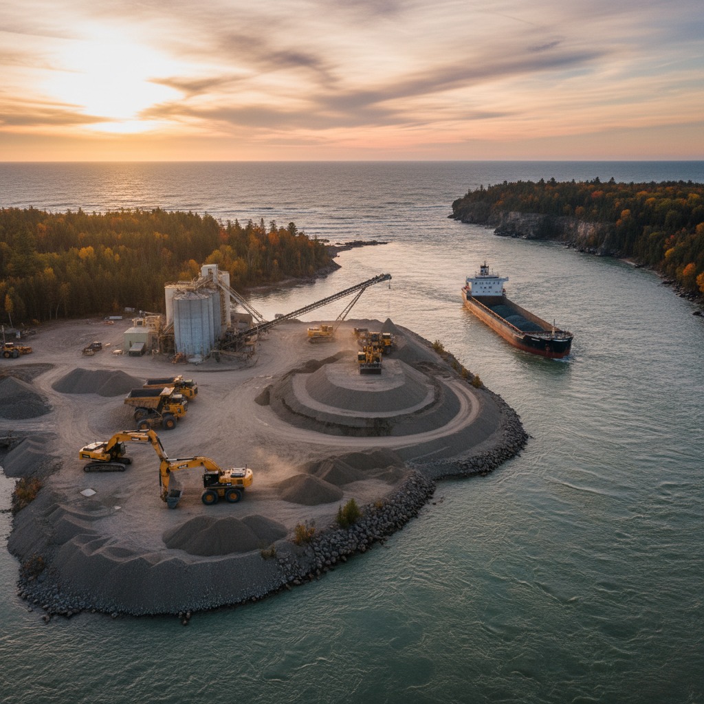
Sand and gravel operations near Ontario shorelines come with environmental costs that rarely make the headlines. Here is what residents should understand.

Tourism brings jobs and revenue but also traffic, noise, and rising costs. In waterfront towns, residents and developers are at odds over how much is too much.

Provincial planning directives shape what municipalities can and cannot do along the waterfront. We look at how the policy framework works in practice.
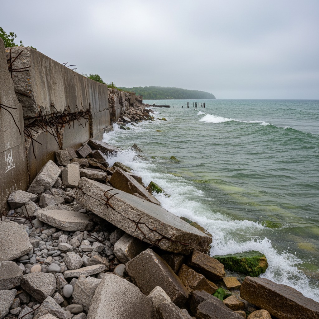
Seawalls, piers, and municipal docks across Ontario are reaching the end of their lifespan. Replacing them will cost billions that many towns do not have.

Zoning changes can dramatically alter the character of a lakefront neighbourhood. We cover what residents need to know and how to engage in the process.
In small towns, land use decisions are personal. We look at the battles playing out in council chambers and at the Ontario Land Tribunal over waterfront development.
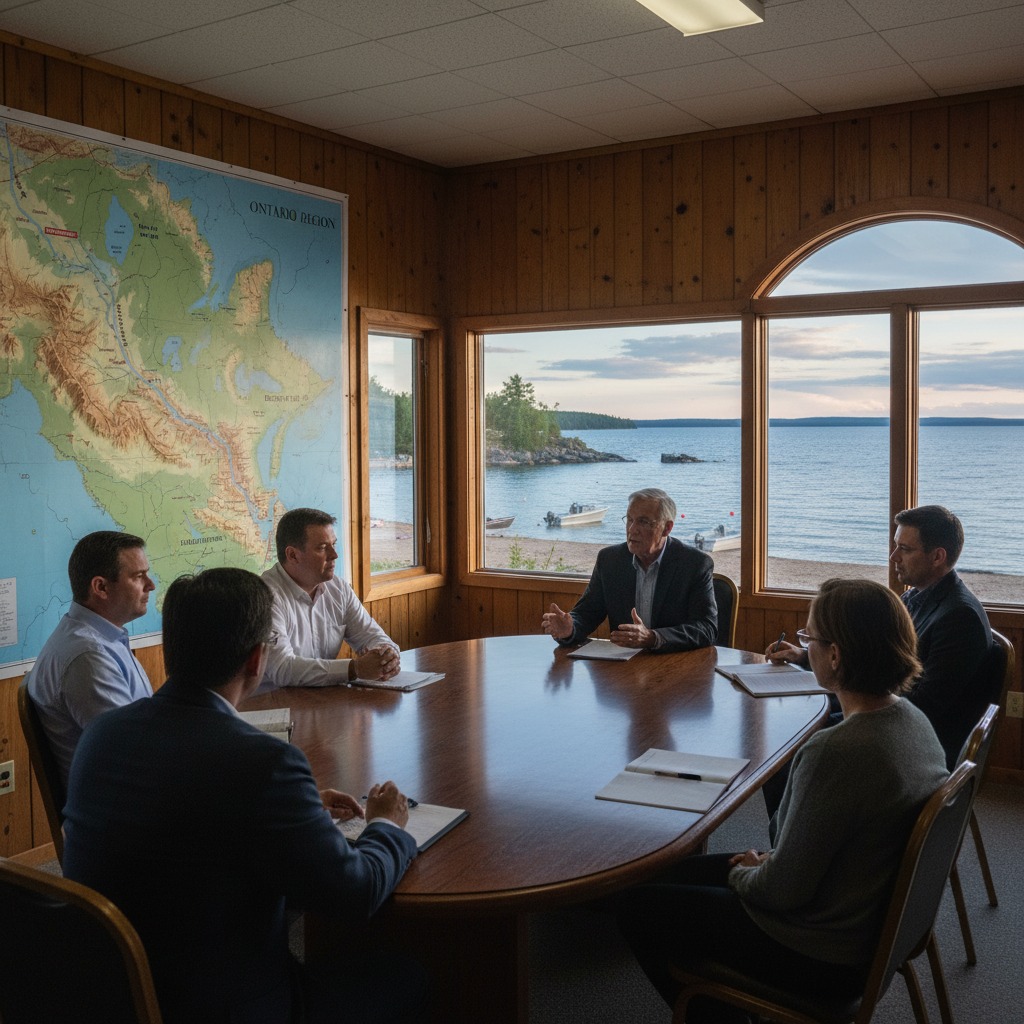
Municipal councils hold enormous power over waterfront planning. We examine how the process works and where citizens can have the most impact.
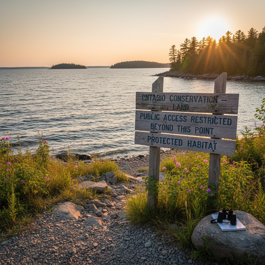
Conservation restrictions can limit what you do with your property, but they also protect the natural features that make waterfront land valuable in the first place.
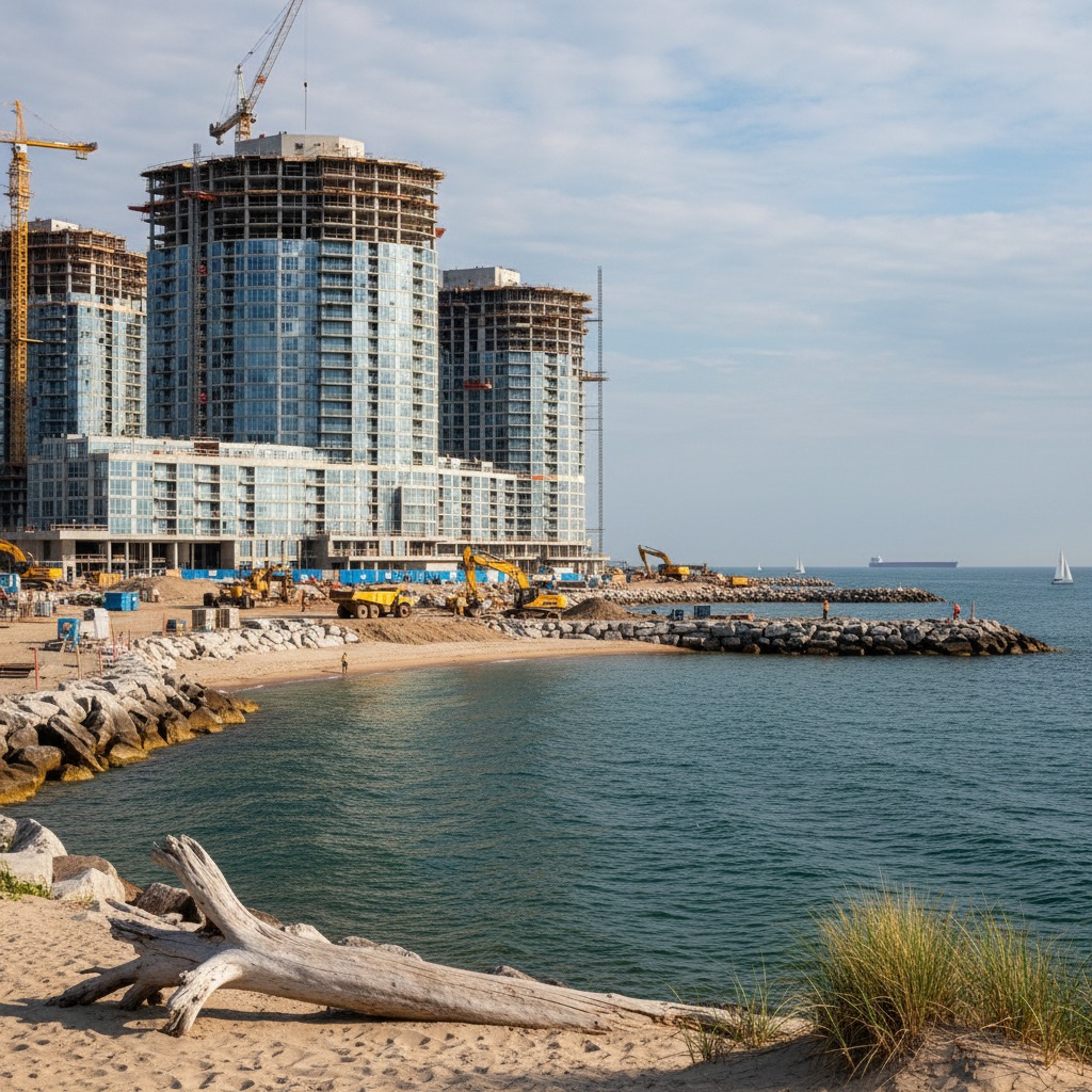
Waterfront condo developments promise economic growth and public amenities, but the benefits are not always shared equally. We examine the trade-offs.
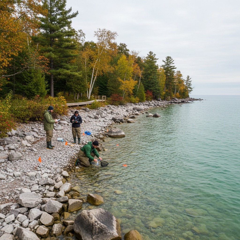
Environmental assessments are required for many waterfront projects, but the process is often opaque and the outcomes contested. Here is how it works.

Hardening shorelines with rock and concrete protects individual properties but can create problems downstream. We look at the science and the debate.
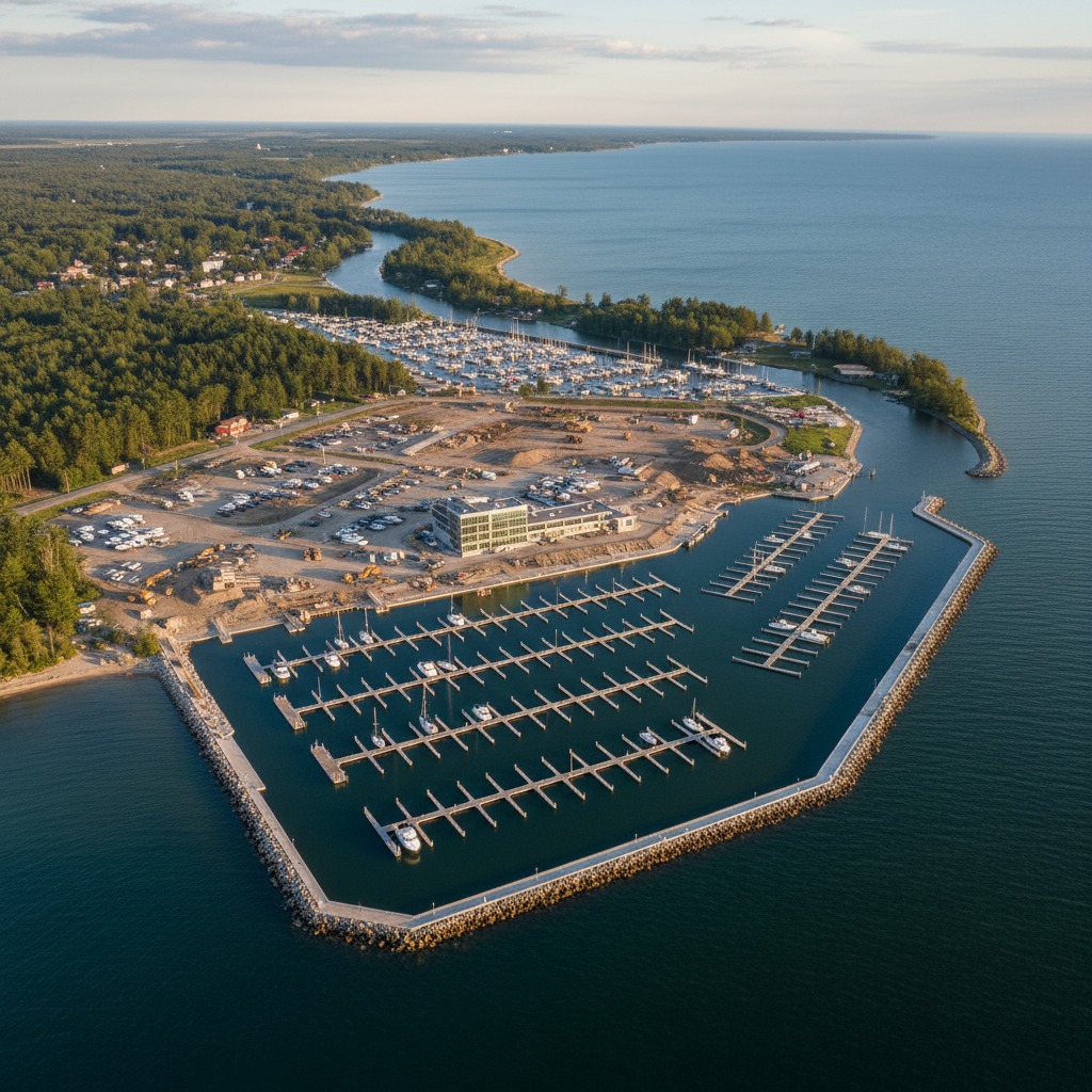
Marina expansion proposals are meeting resistance in communities across Ontario. We look at the economic promises, the environmental concerns, and the process.
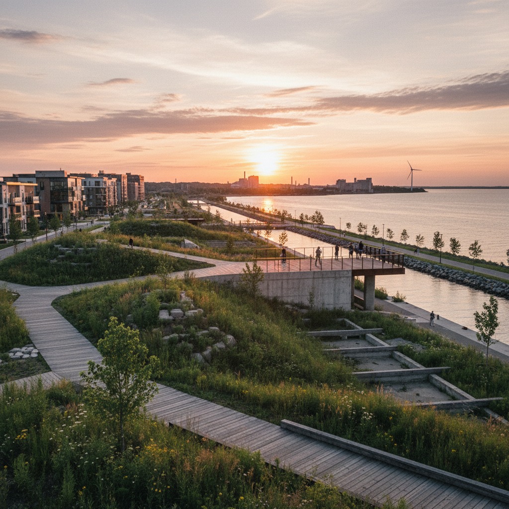
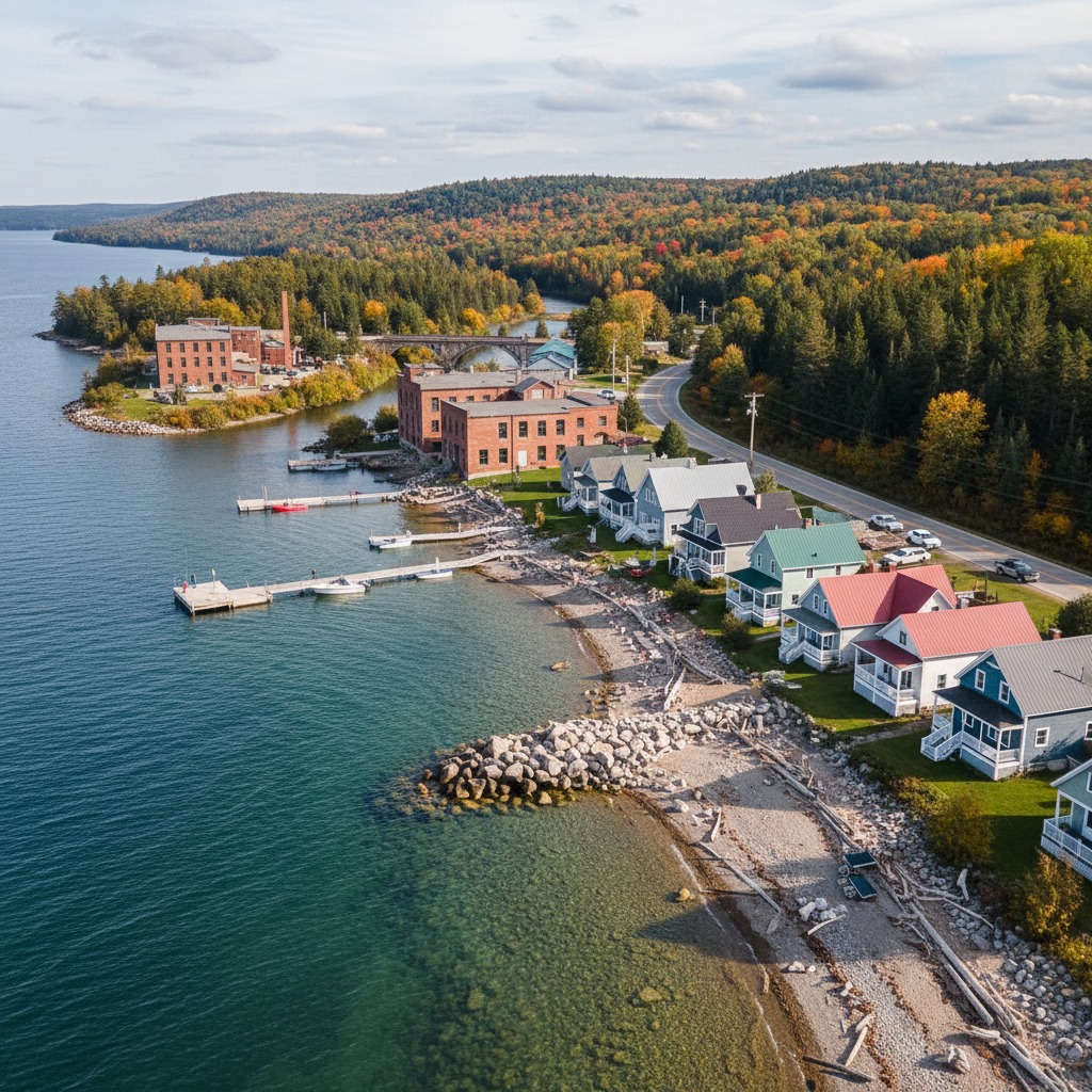
Former industrial sites along the waterfront are being redeveloped across Ontario. We examine the cleanup costs, the risks, and the opportunities.
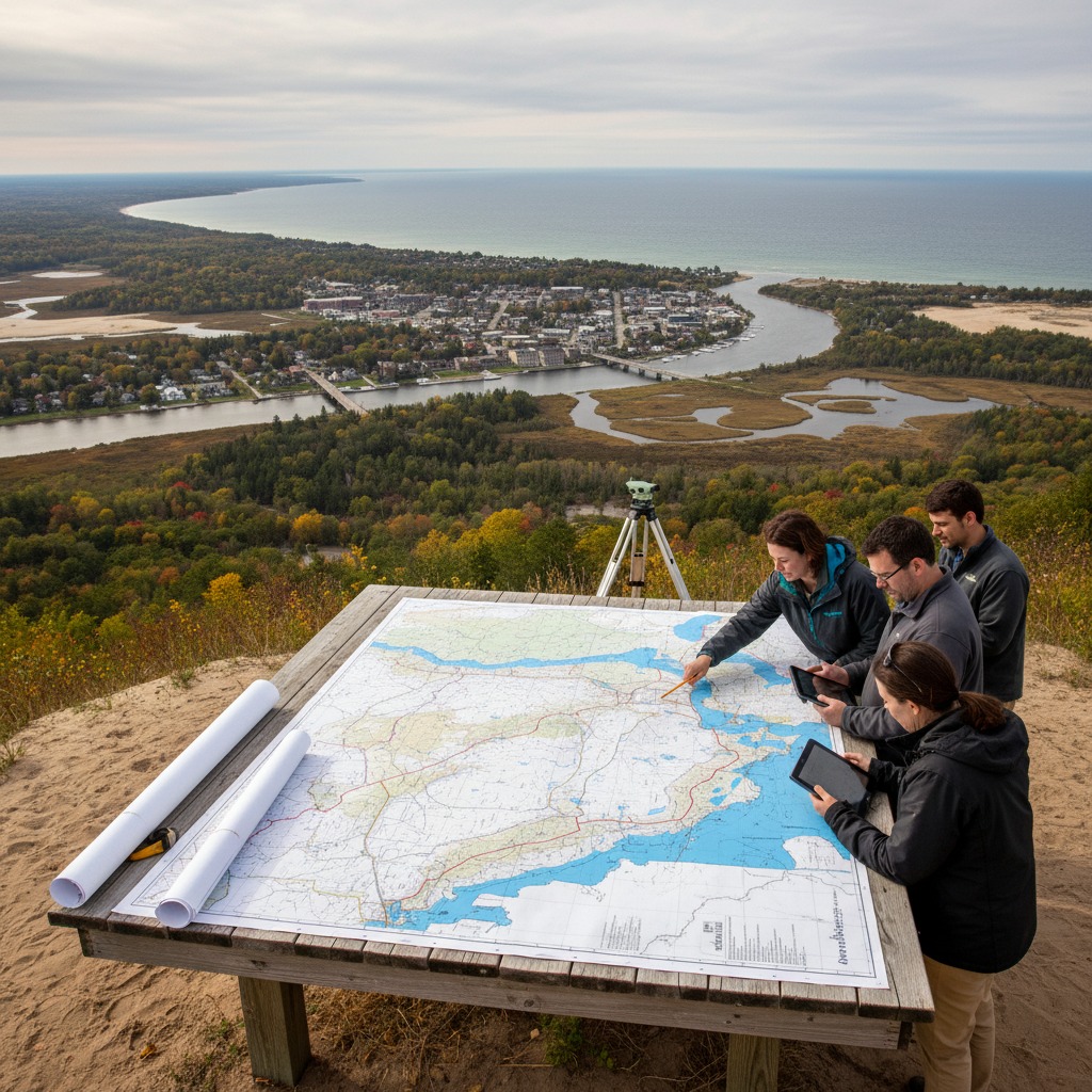
Many Ontario communities rely on floodplain maps that are decades old. As development increases and climate patterns shift, the gaps in these maps are becoming dangerous.
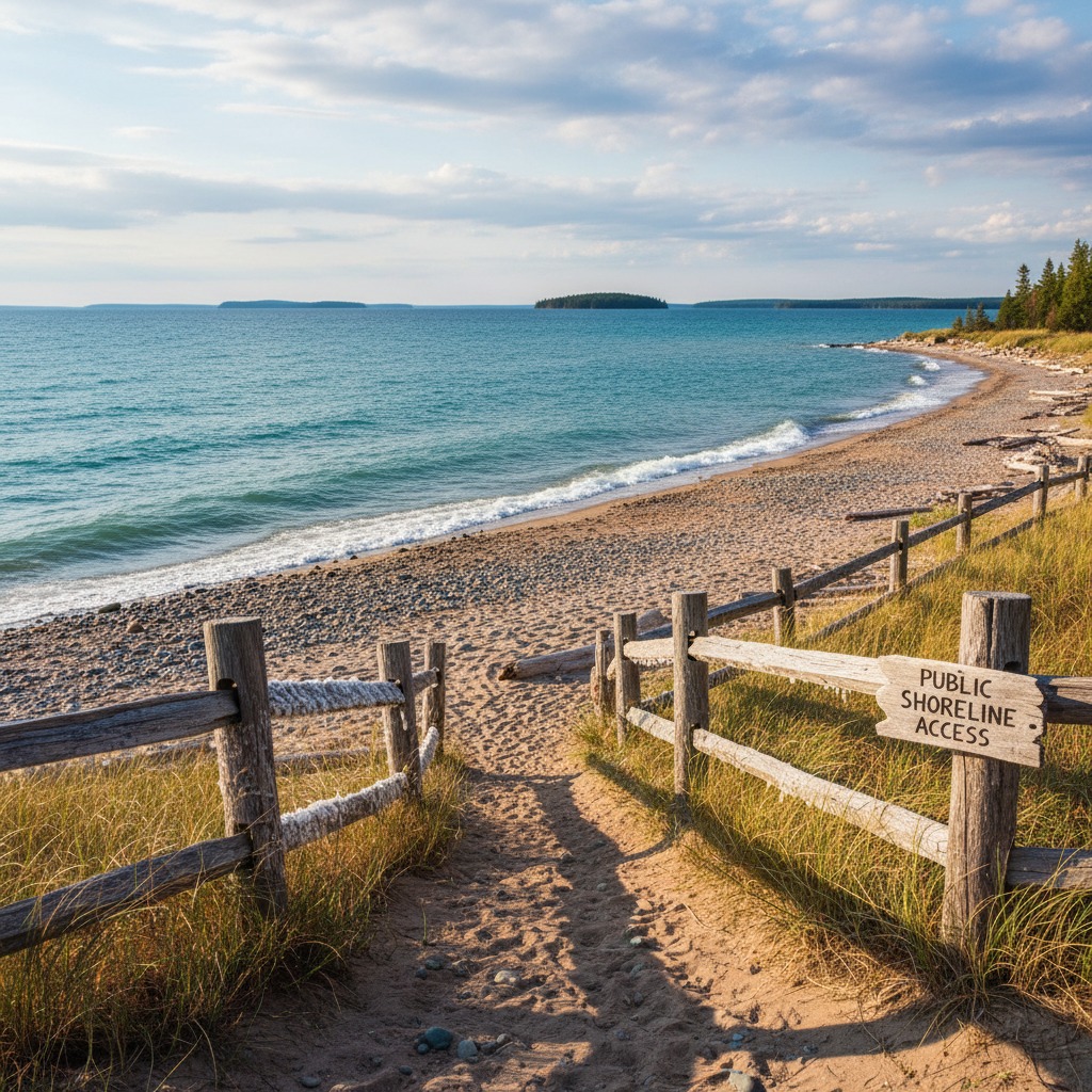
The tension between public access and private property rights is one of the most contentious issues along Ontario waterfronts. We examine both sides.